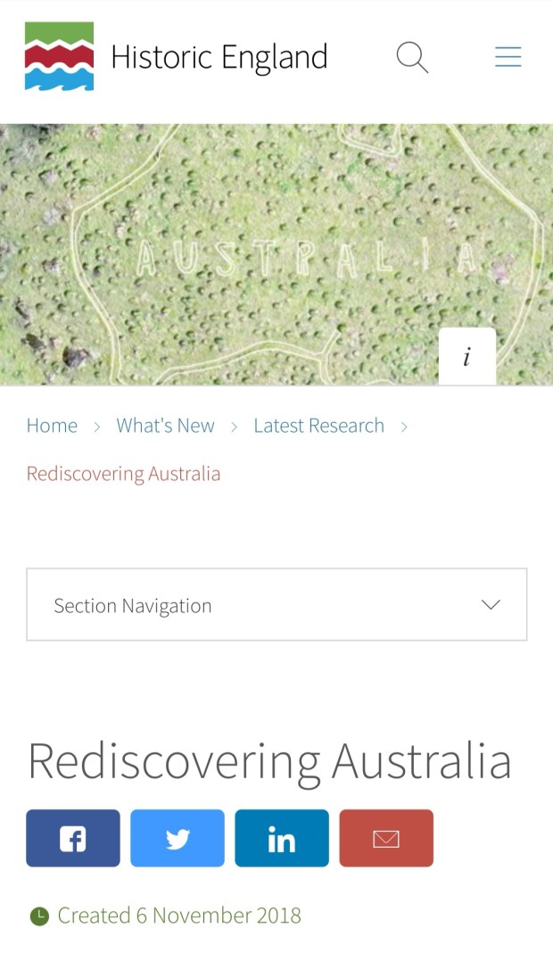
Sharon Soutar is a GIS and survey specialist in the Investigation and Analysis Graphics Team at Historic England. Combining skillsets as a landscape archaeologist and graphic designer, Sharon has spent over 20 years working in various parts of Historic England. She became involved in our project in July 2017 and carried out the ground survey back in November 2017. She was able to accurately mark out the Map for us this summer and has just published her research paper all about the Map of Australia.
You can read all about it here